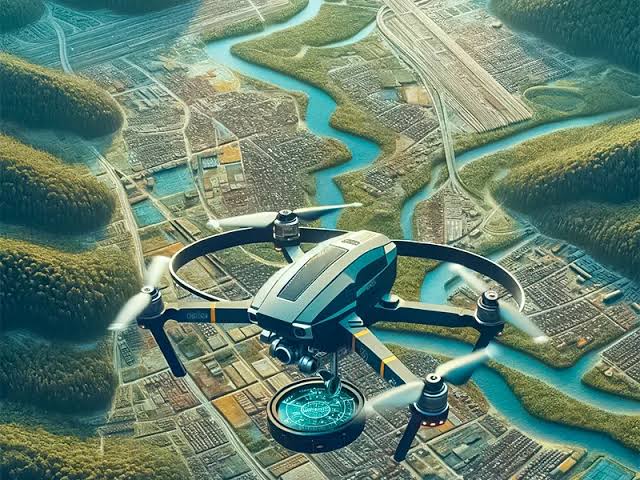
Over the past decade, Unmanned Aerial Vehicles (UAVs)—commonly known as drones—have transformed the geospatial landscape, bridging the operational gap between slow, labor-intensive ground surveys and expensive, weather-dependent manned aircraft missions. UAV surveying pairs autonomous aerial platforms with advanced digital sensors, precise onboard navigation, and rapid photogrammetric processing to capture high-resolution spatial data across construction sites, …
Article 9: UAV / Drone Surveying — Rapid Aerial Mapping and Inspection from Low Altitudes